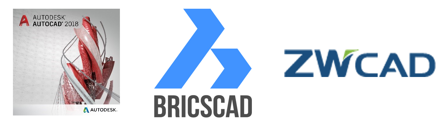
Choose your preferred CAD
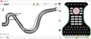
MDT is now available for the latest versions of AutoCAD 2018, BricsCAD 17.2 and ZWCAD 2017 SP3, so you can continue to use our application with your favorite CAD. The installation also includes support for older versions.Do not forget that you can choose between permanent or annual licenses, depending on your needs.These versions will be available ...