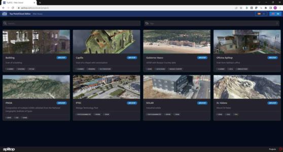
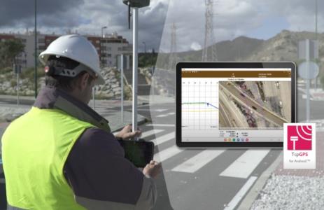
Aplitop, Solutions for Surveying and Civil Engineering - list-news

aplitop-spinning

News

2017
APLITOP, the first company in the world to implement the IFC Alignment format

APLITOP, the first company in the world to implement the IFC Alignment format

Today, has been introduced at the Barcelona Summit organized by buildingSMART International the first live demonstration of a commercial application that is capable of importing and exporting files in the IFC Alignment format. This format allows to exchange data on surveying surfaces and alignments in plan and elevation through an extension of the ...

2017
APLITOP joins to IFC Road workgroup for BIM applied to roads

APLITOP joins to IFC Road workgroup for BIM applied to roads

The Spanish companies APLITOP and APOGEA have become stakeholders of this workgroup for defining the new IFC-Road format for exchange of road BIM data, in Barcelona Standards Summit organised by buildingSMART International. This document defines the scope of collaboration for this project, having as participants public and private organizations fro ...

2016
Generation of GML files with TcpGPS

Generation of GML files with TcpGPS

TcpGPS can load cadastral cartography files in shape or DXF formats, using them as basemaps, as well as perform parcel surveys. In addition, from version 4.1.5 the parcels can be exported to GML format according to the INSPIRE initiative.

2016
Exporting roads to Leica Captivate with MDT

Exporting roads to Leica Captivate with MDT

MDT 7.5 can export road data to Hexagon XML format, in order to be loaded in Leica Captivate software. In this way, all elements of cross sections and templates can be managed, including platforms, ditches, slopes to be used in total stations and GNSS receivers for stakeout and checking tasks.

2016
Importing Hexagon XML surveys with MDT

Importing Hexagon XML surveys with MDT

Now it is possible to import survey data measured with Leica instruments and stored in this format. Points, breaklines and parcels are automatically drawn, achieving the most effective use of point coding features in field surveys. 

2016
Release of the new version Tcp MDT 7.5

Release of the new version Tcp MDT 7.5

Buy it now and take advantage of the more than 60 enhancements and new features of this magnificent new version, such as:Import and export surfaces and meshes in much more formatsFlood zones simulation analysisImproved connectivity with GIS systemsProfiles Representation Styles, and road design rules, adapted to many CountriesLongitudinal Profiles ...

2016
Another step of APLITOP on ANDROID development

Another step of APLITOP on ANDROID development

APLITOP has added new functions to its TcpGPS Lite software for mobile devices with Android operating system, for rapid surveys using the integrated GPS of your mobile phone or tablet with its nominal precision, very easily.As basemap Google MapsTM is used, being able to switch between the standard mode, satellite, hybrid and terrain. At all times ...

2016
TcpTunnel CAD 2.0

TcpTunnel CAD 2.0

The version 2.0 includes the following features:· Generation of the 3D model  of the tunnel from the cross-sections vertices.· Virtual tour inside the tunnel  allowing you to move forward and backward, go to a particular station, etc.· Exporting the model to OBJ and OFF formats, which can be used in app ...

2016
TcpTunnel 5.0

TcpTunnel 5.0

We release this new version which includes the following features:· Surveying and setting out with tolerance to measurement errors, allowing you to work fully automatically and unattended.· Setting out and surveying cross-sections in graphical mode, both front and plan views.· New option for setting out rock bolt ...

2015
MDT 7 compatible with Windows 10

MDT 7 compatible with Windows 10

MDT 7 has passed the quality control on the operation in this new operating system, and it can be used whenever the CAD also is compatible.The upcoming release 7.5 of MDT includes a specific installation for the latest versions of these operating systems.

Can we help you?