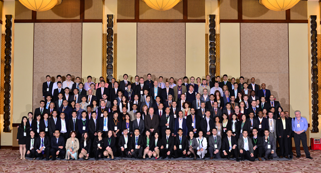
Aplitop | Land Surveying and Civil Engineering Software - list-news

aplitop-spinning

News

2009

New products TcpGPS Basic and TcpET Basic

Designed for the users who need an application based on GPS or total station for surveys and setting out with a low cost. Roads and urbanisation projects are not included. The difference is that in the basic versions the options of setting out of alignment, heads and feet, slope control, sections, etc don´t exist. On the contrary, the support ...

2009

TcpET 2.4.2 new verssion

It incorporates the following advantages, between others: Improvements in the images management with ECW support. New cross section viewing. Possibility of activating the thin way by default in configuration. Improvements in calculation of areas command. Possibility of discriminating bases for altimetry or planimetry in inverse intersection. ...

2008

They draw Obama's face with APLITOP's programs

A group of surveyors and volunteers have set out recently on the beach of the Forum (Barcelona) Obama's face, a Catalan architect´s work. Our TCP-MDT program has been used for the work of office, and for setting out it has been used Topcon and TcpGP Software equipments.

2008

TcpTunel CAD 1.6 for AutoCAD 2009

The new post process module of tunnels’ data version incorporates tools of tunnels ´profiles edition, more options for the customization of the profiles and 3D tunnel´s drawing, templates with umbrella, comparison of profiles of different dates, etc. In addition it works with AutoCAD from 14 to 2009 version.

2008

TcpGPS 3.0.5 for TOPCON GMS-2

This version allows one to obtain the maximum use of this hand receiver, making use of the corrections of the EGNOS and DGPS services, the satellites of the GLONASS system, etc. If it is equipped with a digital camera, it is possible to associate photographs to points, which can be consulted by a visor of images in the own application or in TCP-MDT ...

Can we help you?