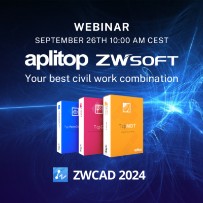
Aplitop | Land Surveying and Civil Engineering Software - list-webinars

aplitop-spinning

Webinars

2024
Webinar of Aplitop and RS CAD Engineering 2024

Webinar of Aplitop and RS CAD Engineering 2024

Join us next Wednesday, January 31 from 11:00 to 12:30 CEST to learn about Aplitop's solutions.The event promises valuable information on the Aplitop family of products, networking opportunities and the chance to explore innovative civil and land surveying tools and techniques that can help you stay ahead of the curve. Your presence will be gre ...

2023
Webinar of Aplitop and ZWSOFT

Webinar of Aplitop and ZWSOFT

Last September 26th, we collaborated with ZWSOFT to present our ecosystem of solutions, together with ZWCAD.Among the featured solutions, we showed the APLITOP ecosystem running on the latest version of ZWCAD 2024 with emphasis on the new point cloud functionality.During the session we showed the workflow of our terrain analysis applications, seaml ...

2022
Bricsys® Digital Summit 2022

Bricsys® Digital Summit 2022

Join us on October 31 at the Bricsys® Digital Summit 2022 to learn about the latest technological developments in the sector.Visit https://www.bricsys.com/es-es/summit/2022 and in Bricsys® Spotlight watch our presentation "What's New with Aplitop's Surveying and Civil Partner App" 

2021
Discover TcpMDT: The best tool for surveyors

Discover TcpMDT: The best tool for surveyors

Welcome to Discover TcpMDT on GstarCAD:The best tool for surveyors In this free webinar, we will see how to carry out a surveying project, using the following workflow:1. Obtaining existing ground from cartography or web map service2. Definition of roads in the project3. Design of road templates4. Obtaining the final ground5. Obtaining of area and ...

2021
Introducing TcpMDT: The Best Toolkit for Surveyors

Introducing TcpMDT: The Best Toolkit for Surveyors

Join the webinar to witness a case study of TcpMDT software, including the following content:- Importing survey data- Generating digital terrain model and profiles- Calculating volumes- Designing a road- Quantity take-off- Stake out reports- Exporting data to Civil, BIM or GIS software 

2021
Tunnel Workflow with Terrestrial Laser Scanner

Tunnel Workflow with Terrestrial Laser Scanner

You will see and experience the most productive workflow from Topcon and Aplitop when it comes to your Tunnel construction work. It’s a game-changer against your current workflow that you are applying to your projects right now.Terrestrial Laser Scanner and Post Processing software will take you to the next level. We will use your design data ...

2021
Tunnel Workflow with Robotic Total Station

Tunnel Workflow with Robotic Total Station

You will see and experience the most productive workflow from Topcon and Aplitop when it comes to your Tunnel construction work. It’s a game-changer against your current workflow that you are applying to your projects right now.Robotic Total Station and Tunnel CAD, Field, Post Processing software will take you to the next level. We will ...

2021
Tunneling Survey Solution Webinar

Tunneling Survey Solution Webinar

Join the SpectraGeospatial and Aplitop teams for an overview of the new tunnel surveys for surveyors and construction professionals. Using the robust and accurate Focus35 robotic total station with Aplitop's TcpTunnel software, surveyors can benefit from simple but powerful tunnel workflows.In this webinar we will cover:- Tunnel surveying chall ...

2021
2020
Discover TcpMDT Civil Software for ZWCAD2021

Discover TcpMDT Civil Software for ZWCAD2021

Welcome to discover TcpMDT latest version 8.5 on ZWCAD 2021 In this free webinar, we will see how to carry out an urbanization project with its sewerage network, using the following workflow:1. Obtaining existing ground from cartography or web map service2. Definition of roads in the urbanization3. Design of road templates4. Obtaining the final gro ...

Can we help you?