
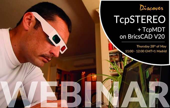
In this free webinar, we will learn to get the most out of data generated by photogrammetry applications, such as digital elevation model, orthophotos and oriented images in order to export and work on BricsCAD V20:
- Project creation in TcpStereo from Pix4D data
- Checking of cartography with stereoscopic vision
- BricsCAD V20 synchronized restitution
- Import of digital elevation model in TcpMDT
- Insertion of orthophotos
DISCOVER ALL THE ADVANTAGES OF THE MOST POWERFUL BUNDLE OF SURVEYING SOFTWARE ON THE MARKET!