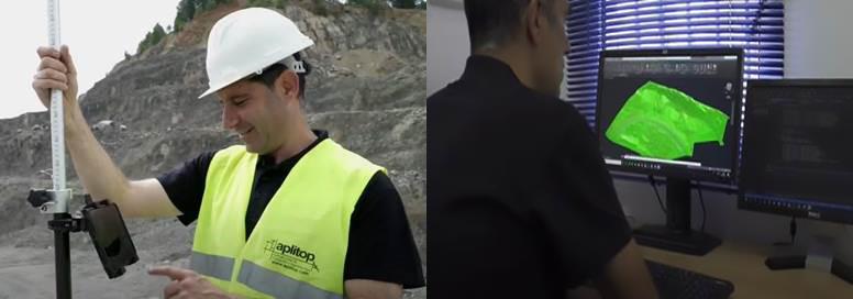
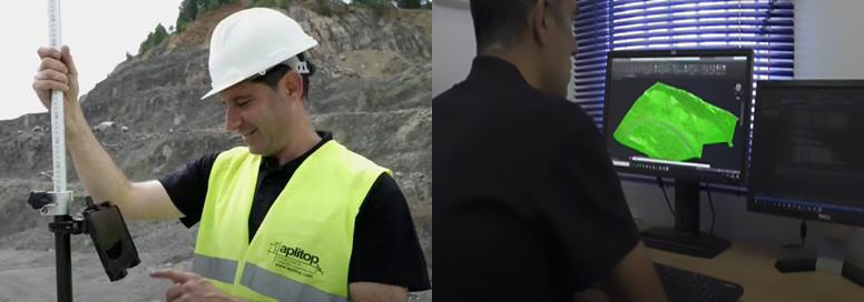
Achieve maximum efficiency with Aplitop TcpGPS + TcpMDT complete solution. The data measured in the field is shared in the cloud so that the points, lines and digital model are automatically drawn in the office, including the photos and voice notes. In addition, all designs created in the office can be transferred to the field directly in DWG, LandXML and other standard formats for stakeout works.
TcpGPS
Make in a simple and intuitive way surveys and stake out of plots, terrain and linear works, using base maps or cartography and web map services.
It can be installed on Android phones and tablets, and it is compatible with any GNSS receiver with NMEA output.
TcpMDT
Complete solution for all types of surveying projects, from the modeling of a plot to urbanizations, roads and other infrastructures. It also can be integrated into GIS and OpenBIM workflows.
MDT is a CAD application that can be installed as a plugin on AutoCAD, BricsCAD or ZWCAD.