The first results of a project of an investigation realized by the construction company SACYR, the University of Jaen and APLITOP, are published in a number of the Mapping magazine. Our work has consisted of the development of a computer application with graphical proper environment for the generation of transverse sections of tunnels from laser scanner´s data.
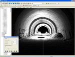
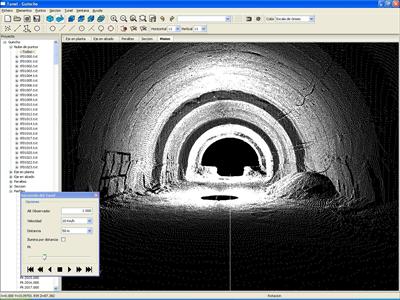
The project is defined from his horizontal alignment, survey and super elevation, the theoretical section and the points taken by the scanner. With a powerful 3D sight device the points can be represented with the symbology wished by the user as well as by natural colour. Also the points can be filtered by different criteria and with interactive tools.
The program calculates the transverse sections and compares them with the theoretical section, for that shows graphics with the surfaces of infra and over excavation. The drawing can be exported to a DXF file. Also it can generate reports of file surfaces and volumes, etc.
The application offers the possibility of the simulation of the tour through the tunnel, placing the user inside this one to a certain height and to control the position, speed, sense and scope of the sight. Also an AVI video can be generated with this animation.