SURVEY
New management of codes´ data base, which gives us the possibility of using different codes for every project
- Codes are ordered in the order in which they are used or alphabetically, also new codes are recorded automatically in the data base.
-Drawing of breakline using multiple codes.
- Viewing of symbols based on True Type sources for the point codes.
- New option to take horizontal alignments, longitudinal profile and vertical alignment simultaneously. With undo support and the improvement of the drawing.
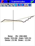
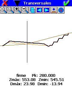
- New option for the cross section collection with breackline drawing.
SETTING OUT
- New cross section management with simultaneous drawing of all layers and the election of the active profile.
- Graphical selection of points in setting out
CALIBRATIONS
- It is not necessary the configuration of the mobile to place in local system.
FILES MANAGMENT
- New file explorer
- The Improvements of Data edition allow one to undo changes, remember columns´ width and the last selected record.
- New command to obtain longitudinal from cross section
UTILITIES
- New command to georeference ECW, JPEG and JPEG 2000 images with numerous pair of points.
- Graphic calculation of area with selection of points
NEW SUPPORTED DEVICES
- Javad Alpha
- Javad GISmore
- GeoMax ZGP800
News
European Regional Development Fund.
APLITOP S.L. has been a beneficiary of the European Regional Development Fund whose objective is to improve the use and quality of information and communication technologies and access to them and thanks to which it has optimized our commercial processes for the improvement of competitiveness and productivity of the company 2022. For this, it has had the support of the INNOCAMARA PROGRAM of the Chamber of Commerce of Malaga. "A way of making Europe".
Funded by the European Union NextGenerationEU.
APLITOP S.L. has benefited from the INTERNATIONAL MENTORING Programme to improve and consolidate its international positioning through the implementation of an International Action Plan. The programme is financed by European Next Generation-EU funds, as part of the Recovery, Transformation and Resilience Plan.
Compromiso con el Medio Ambiente
Midiendo el futuro con sostenibilidad. Implementamos medidas responsables para reducir las emisiones de CO₂ el desarrollo de nuestras soluciones