

Welcome to APLITOP !!!
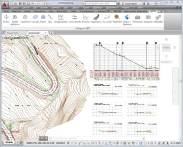
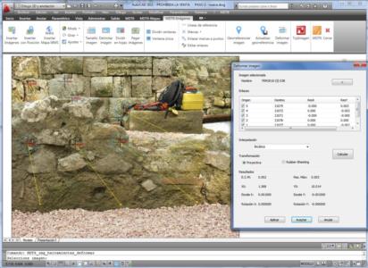
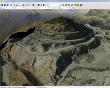
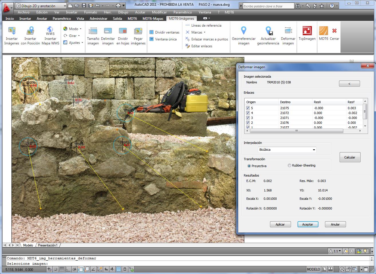
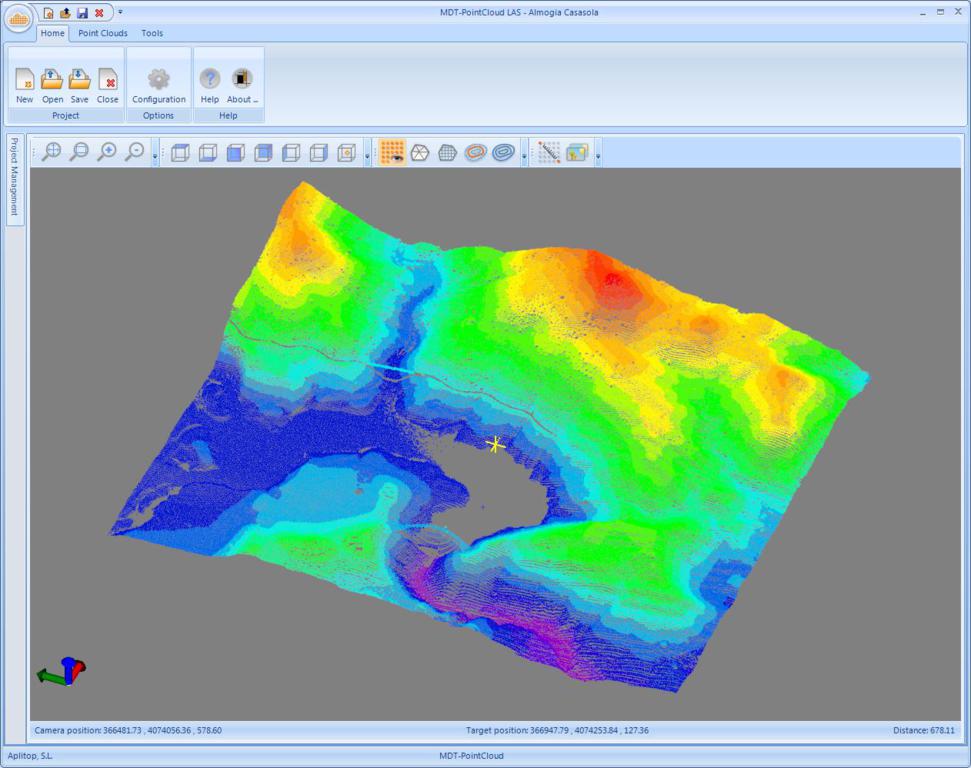
This webinar is about TcpMDT, our full solution for Surveying and Civil Engineering projects.
If you are looking for the best software for drawing surveys, modelling terrain, working with alignments from roads or streets, and exchange data with BIM applications, come to the next live demonstration of TcpMDT by APLITOP.
TcpMDT is the most versatile and easy to use multi-CAD software, compatible with field data coming from GNSS receivers or total stations, as well as point clouds from scanner or photogrammetry applications.
Don’t miss this opportunity and register now!