Descubre nuestro ecosistema de aplicaciones
Pensado para acompañar a los profesionales en su flujo de trabajo completo
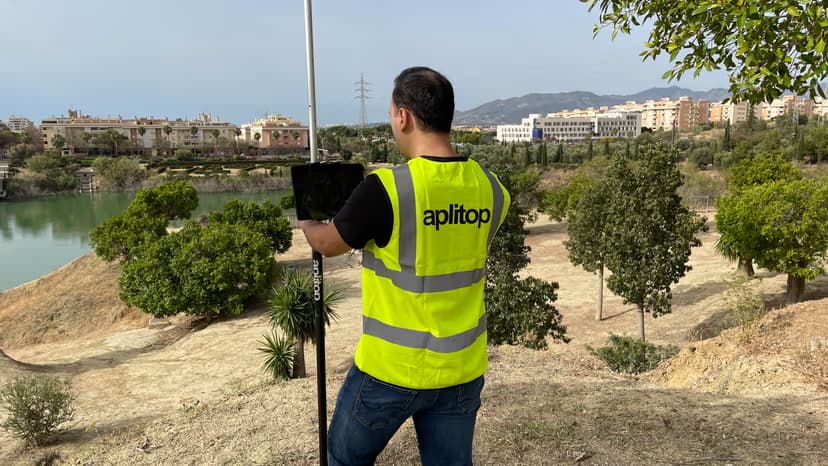
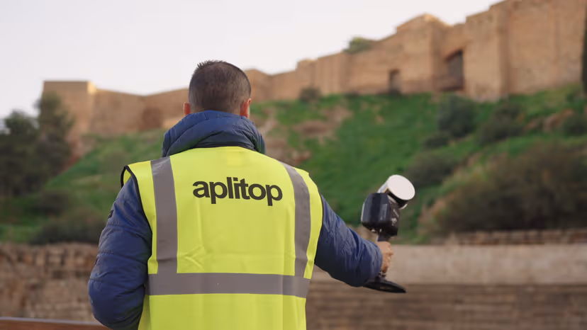
Trabajo en campo
tcpGPS te permite realizar de forma sencilla todo tipo de trabajos de captura de datos, levantamientos y replanteos usando receptores GPS/GNSS
Proyectos topográficos
tcpMDT es nuestra solución completa en CAD que te permite desde levantamientos de parcelas, hasta urbanizaciones y plantas fotovoltaicas.
Nubes de puntos
tcp PointCloud Editor te permite trabajar sobre nubes de puntos, también cuenta con opciones de IA y publicación en web.
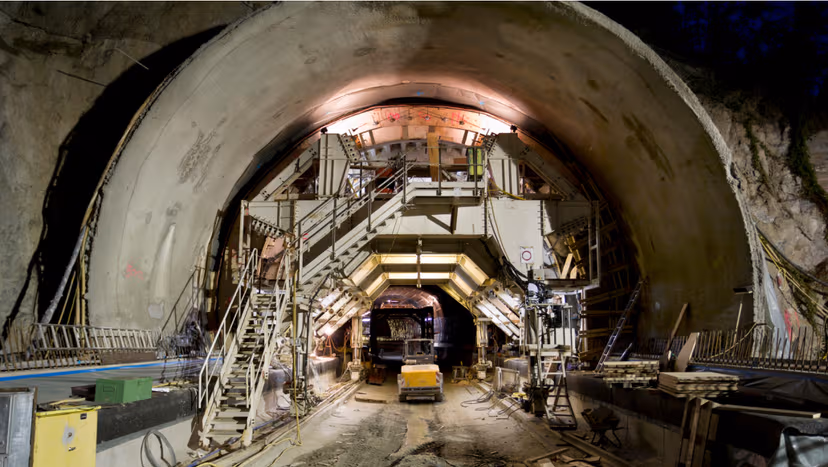
Obras de túneles
tcpTUNNEL para control de obras de túneles y tcpScancyr para secciones de túneles a partir de escáner 3D.
Soluciones por Sector
Precisión a medida para los retos de infraestructura más exigentes del mundo.

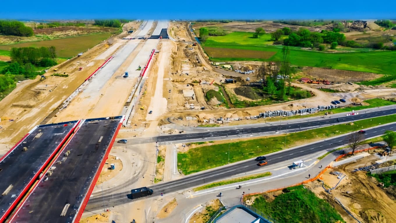
Carreteras y Transporte
Diseño de alineaciones y control de pavimentos.
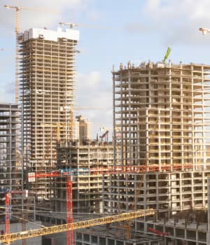
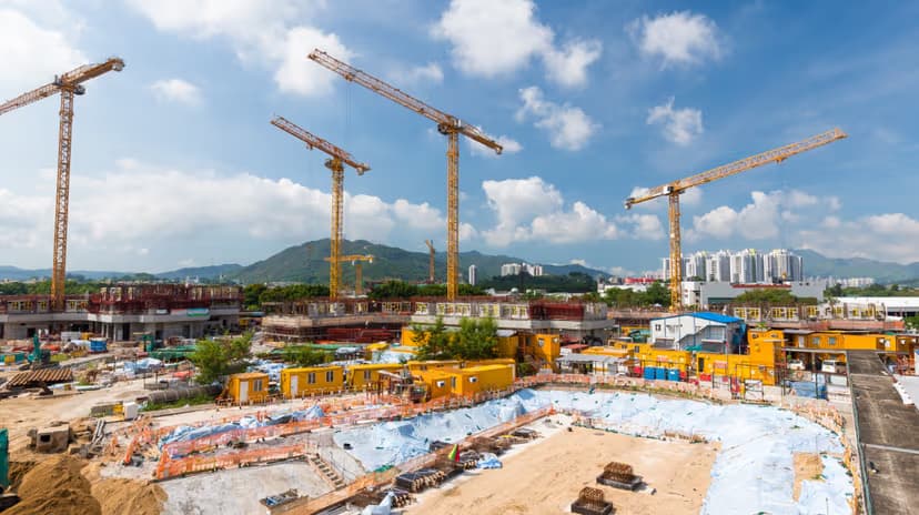
Edificación y Urbanización
Urbanizaciones, parcelaciones y movimiento de tierras.
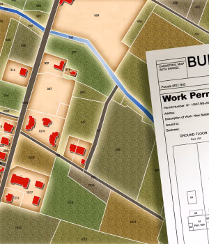
Catastro
Levantamientos catastrales y gestión de parcelas.

BIM
Integración BIM para proyectos de ingeniería civil.
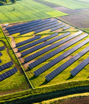
Energía Solar
Diseño y replanteo de plantas fotovoltaicas.
Soluciones por equipos topográficos
Sea cual sea el equipo que utilices para la toma de datos o replanteo, puedes aprovecharlo al máximo con nuestras aplicaciones.
Preguntas frecuentes
Resolvemos las dudas más habituales sobre Aplitop y nuestras soluciones.
Conoce nuestros principales clientes y socios


En un camping cerca de Rovinij (Croacia) era necesario realizar una gran cantidad de trabajo, ya que alrededor del 90% de su localización había cambiado completamente. El problema no era el levanta…
Lo que opinan sobre nosotros
Nuestras aplicaciones son usadas por miles de usuarios en todo el mundo
El software cumple con todo lo que promete. El apoyo de todo el equipo es increíble. El esfuerzo y la respuesta de todos para satisfacer nuestras necesidades son la definición misma de lo que es un buen servicio de asistencia. ¡Seguid así!
Un equipo profesional, un profundo conocimiento de diversos mercados y de las necesidades del sector, software de última generación y flexibilidad. En resumen: un 10 sobre 10.
Es un programa bastante intuitivo con el que realizar la gran mayoría de los trabajos en topografía. Es un software a buen precio comparado con el resto de programas en su campo y a nivel de actualizaciones, mantenimiento y soporte técnico está muy bien valorado.
Software PointCloud Editor muy completo para visualización y edición de nubes de puntos.
APLITOP, empresa de renombre de garantía de seriedad. Producto profesional y asequible.
Todas las soluciones que ofrece nuestra compañía deben de cumplir con el requisito de ser soluciones de clase mundial y Aplitop no es la excepción. Sus diversas aplicaciones informáticas poseen diversas herramientas de fácil implementación. Además, Aplitop tiene la visión de realizar constantes mejoras con gran soporte de primera línea, adicionalmente está en nuestro idioma, lo que es un gran plus para todos los usuarios hispanohablantes.
La solución Aplitop permite tener un software potente con un presupuesto competitivo. Nuestros principales clientes son topógrafos u oficinas de diseño, pero también otros clientes atípicos como la OTAN forman parte de nuestros clientes porque la solución tcpMDT les permite en el campo crear un MDT, curvas de nivel y dibujar gradientes de color según las pendientes medidas.
El soporte técnico es muy bueno, respuestas precisas y rápidas sobre tcpScancyr y tcpTUNNEL.
El mejor aspecto del acuerdo para la aplicación es la gran actitud del personal de soporte técnico. Ellos tienen diligencia y trabajaron rápidamente para resolver todos los desafíos que les hemos planteado hasta la fecha.