
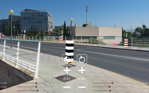
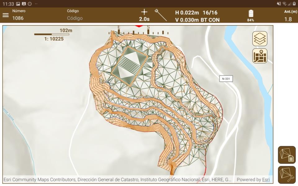
TcpGPS for Android
Easily perform all types of data capture, survey and stakeout work using GPS/GNSS receivers.
About the product
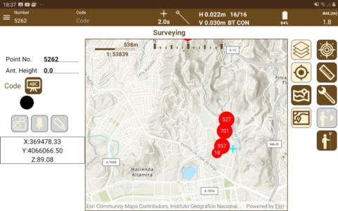
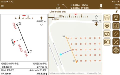
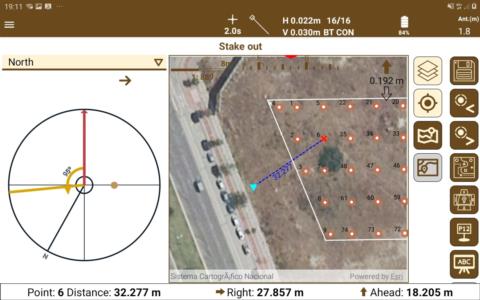
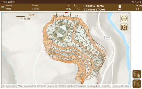
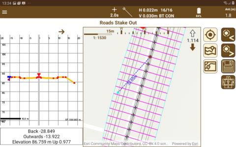
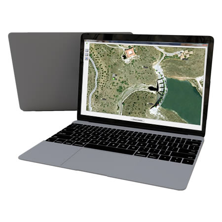
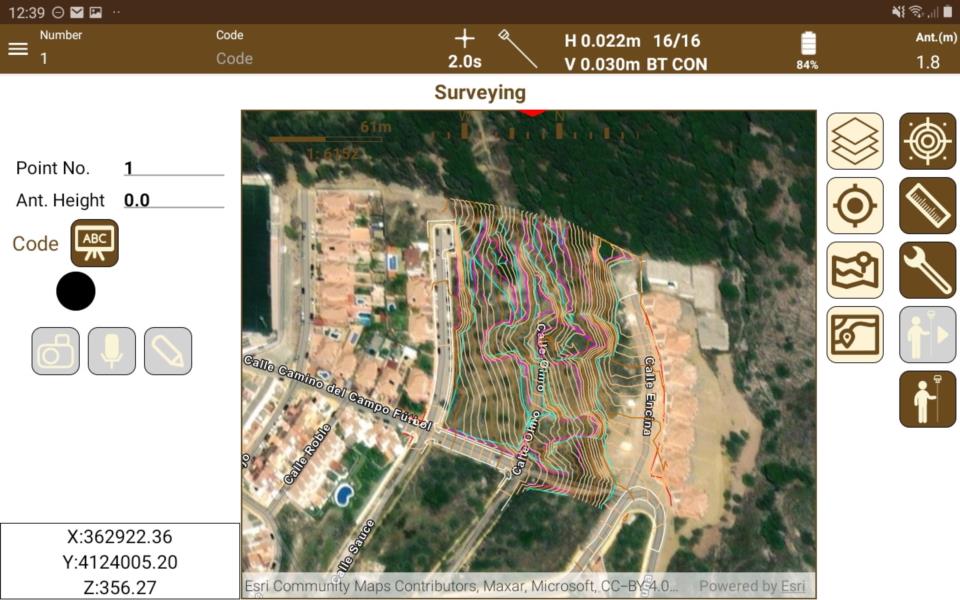
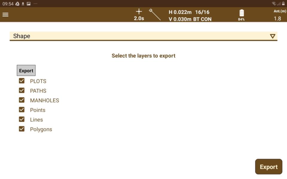
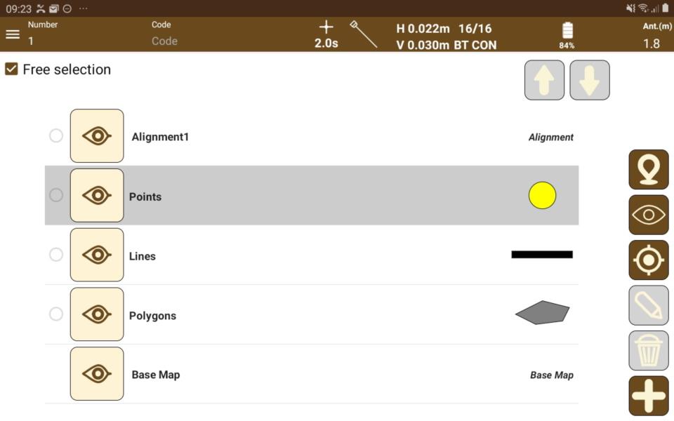
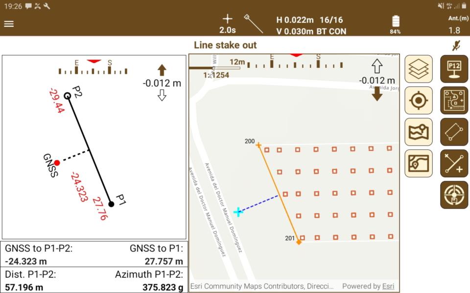
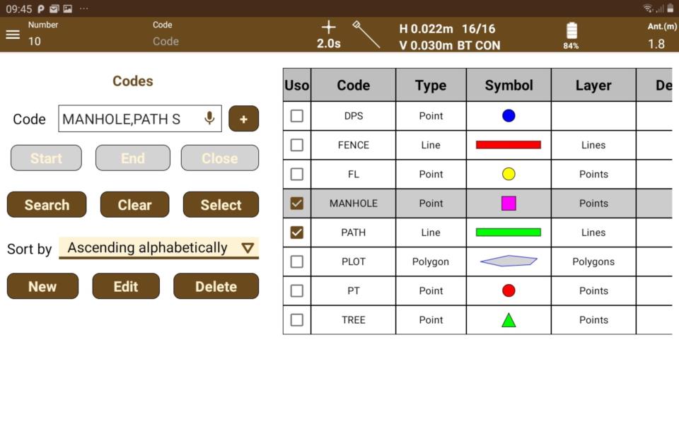
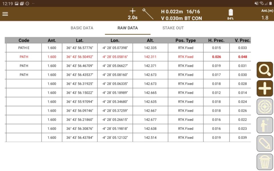
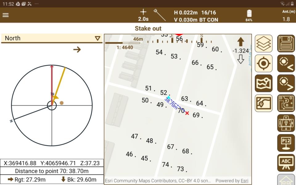
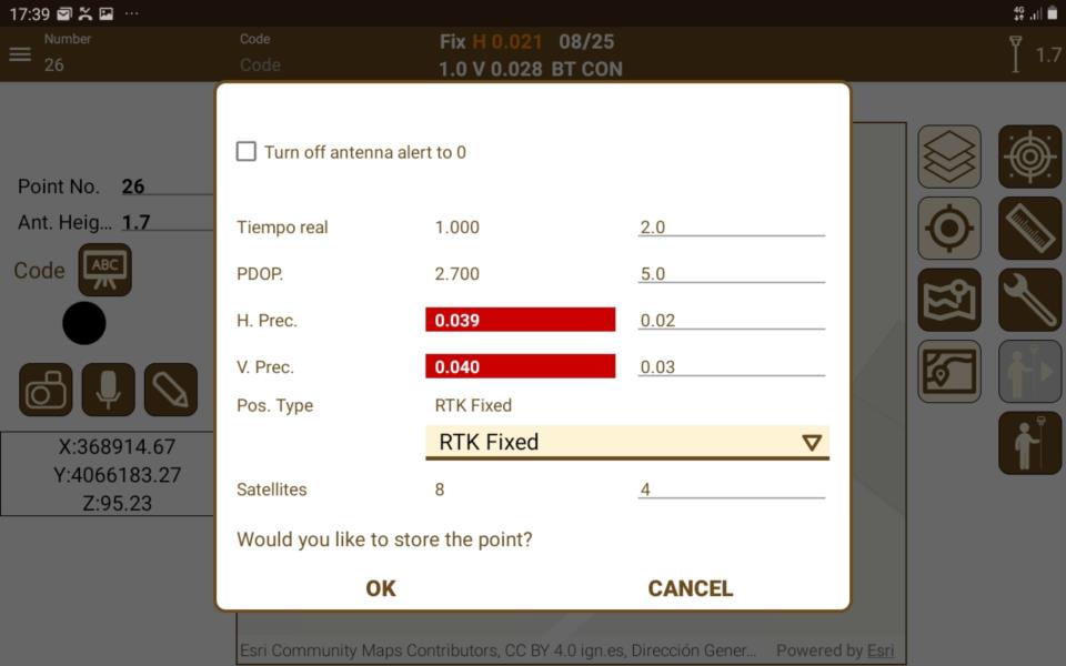
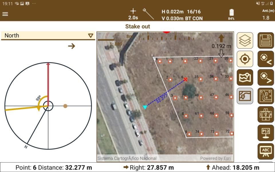
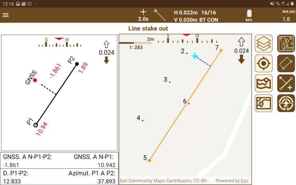
This application for field work allows the user to perform surveys and set out using a wide range of GNSS receivers, integrated into the data collector or connected via Bluetooth.
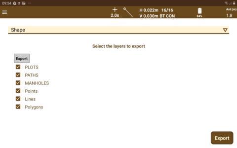
The app has multiple options for surveying and stake out plots, terrains and linear works, using base maps as well as cartography and web map services.


Solutions by Industry
Explore how our applications are used in your sector or industry.
Cadastre and Land Registry
With our field applications, parcel surveys are carried out using total station or GNSS receivers, and with the desktop parcels are designed and integrated with GIS and web map services.
Building and Urbanisation
In addition to tools for terrain modelling, our software facilitates the subdivision of parcels, road design for urbanisations, integration with BIM and much more.
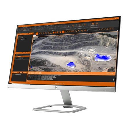
Quarries and Mining
We offer solutions to meet the needs of all types of quarry and mine operations, both open-pit and underground.
GIS
Our products letyou use the geographic information of web services and open data, and generate results that can be easily integrated into corporate GIS.
Public Administration
Our range of products allows us to develop or check a wide variety of Topography and Civil Engineering projects and include everything from field applications to powerful office applications.
Water and Energy
Solutions to simplify the work of technical offices of public or private companies supplying water, sanitation, gas, electricity, telecommunications, etc.
Civil Engineering
Solutions that facilitate the development of road projects, railways, tunnels, dams, power lines, pipes and all types of civil works.
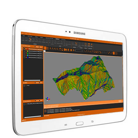
Topography and Geodesy
Our applications make it very easy to perform surveys with GNSS and total station as well as traverse compensation and coordinate system transformations.
Related products
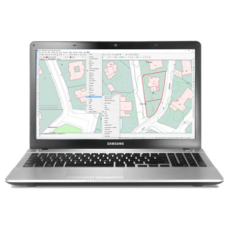
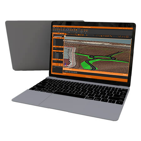
TcpGPS for Windows
All-in-one solution for surveying and setting-out with GNSS receivers
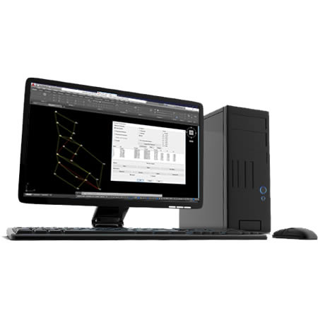
TcpMDT Surveying
Coordinate transformations and processing of total station observations
European Regional Development Fund.
APLITOP S.L. has been a beneficiary of the European Regional Development Fund whose objective is to improve the use and quality of information and communication technologies and access to them and thanks to which it has optimized our commercial processes for the improvement of competitiveness and productivity of the company 2022. For this, it has had the support of the INNOCAMARA PROGRAM of the Chamber of Commerce of Malaga. "A way of making Europe".