
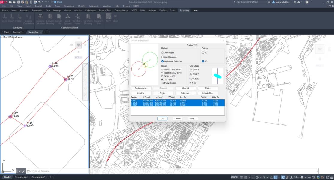
TcpMDT Surveying
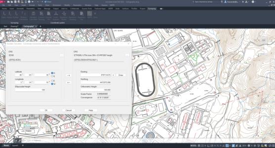
Coordinate transformations and calculations with total station data.
About the product
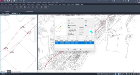
The topography module can be installed over standard or professional MDT, and is very useful for processing total station observations, calculating point coordinates, compensating traverses and networks, etc.
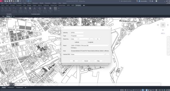
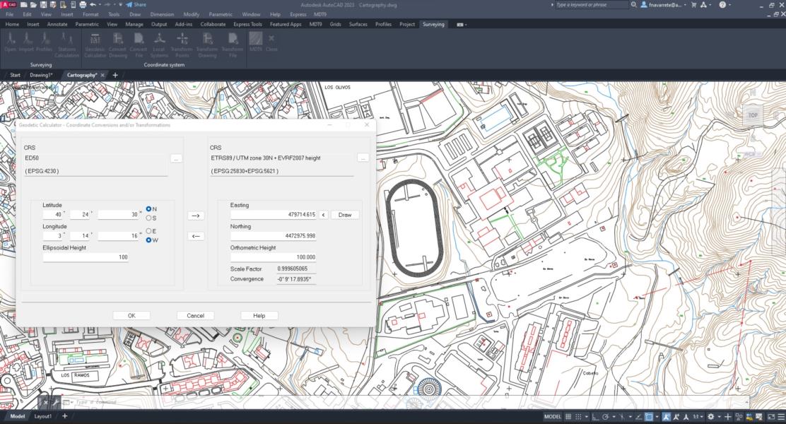
It also allows to perform global and local coordinate transformations. The EPSG database is included with global coverage of reference systems, organized by countries.
Solutions by Industry
Explore how our applications are used in your sector or industry.
Topography and Geodesy
Our applications make it very easy to perform surveys with GNSS and total station as well as traverse compensation and coordinate system transformations.
Cadastre and Land Registry
With our field applications, parcel surveys are carried out using total station or GNSS receivers, and with the desktop parcels are designed and integrated with GIS and web map services.
Related products
European Regional Development Fund.
APLITOP S.L. has been a beneficiary of the European Regional Development Fund whose objective is to improve the use and quality of information and communication technologies and access to them and thanks to which it has optimized our commercial processes for the improvement of competitiveness and productivity of the company 2022. For this, it has had the support of the INNOCAMARA PROGRAM of the Chamber of Commerce of Malaga. "A way of making Europe".