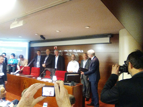
Presentation of the PANDORA project results
On last July 11, 2017, a meeting was held at CATEC's premises in Seville to present the first results of the PANDORA project, which aims to develop new enabling technology solutions for applications in the life cycle of Infrastructure projects, which will improve by both the obtaining of information and its operation, representation and interpr ...